Systems for the technical and operational implementation of RIS
Various systems are available for the technical and operational implementation of River Information Services (RIS), as specified in the Guidelines and Recommendations

 for inland navigation information services:
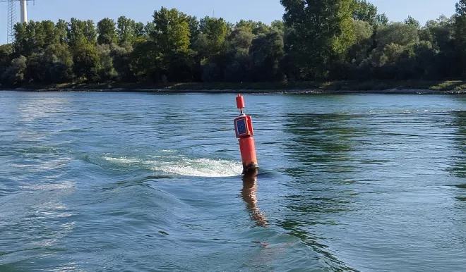
- Visual aids to navigation
- Radar-reflecting aids to navigation
- Light signals
- Mobile phone (voice and data)
- GNSS (Global Navigation Satellite System) for vessel positioning, or for more accurate positioning, DGNSS (Differential Global Navigation Satellite System)
- VHF radio
- Internet (e-mail, provision of information)
- Vessel-based radar
- Shore-based radar
- Shore-based CCTV cameras (closed circuit television / surveillance cameras)
- Electronic navigational chart service (Inland ECDIS with IENC)
- Vessel tracking and tracing system (Inland AIS)
- Ship reporting system (electronic reporting).
- Notices to skippers
Basic and key technologies
In terms of RIS there is a distinction between basic and key technologies.
The basic technologies are the oldest and, to a certain extent, the most fundamental for the implementation and operation of RIS. They are:
The key technologies emerged later and have become increasingly important over time. Today they play a crucial role in RIS, with a high added value. They are:
Reference data
The efficient and effective use of the key RIS technologies relies on the specification, codification, formalisation and harmonised use of reference data.
There are three types of data used by RIS:
- The data used to identify vessels (Hull Data): this is listed in Annex 2 of the ES-TRIN. Article 2.18 of the Rhine Vessel Inspection Regulations (RVIR) and Annex 1 of the ES-TRIN contain guidelines for generating and using the vessel information. The unique European Number of Identification (ENI) assigned to a vessel is the entry key and the most important element of the vessel-related data.
- The reference data used to identify objects on inland waterways and their position (RIS Index): this index also contains all the properties and details of these objects, such as their name and any restrictive conditions (e.g. vertical clearance).
- Other codified reference data: this includes all the data of the various nomenclatures used by the key technologies. This codified data allows information to be transmitted independently of the language used (and, vice versa, to translate the information into any language).
Traffic centres
The national administrations responsible for inland waterways have established traffic centres (traffic posts) along the length of the Rhine. These consist of:
- shore radio stations, which are crucial for radio traffic in inland navigation, and
- inland navigation Vessel Traffic Services (VTS) centres.
In addition, on certain stretches of the Rhine there are AIS signal repeater stations. These allow traffic centres to receive the signals transmitted by Inland AIS devices on board a vessel on the stretch of the Rhine for which they are responsible.